Database
Arches Database
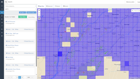
The MAHSA Project is developing an open access geospatial database using the Arches 5 software platform. It's being continually tailored to the specifics of the project and the needs of local stakeholders.
Arches has been developed by the Getty Conservation Institute and World Monuments Fund for cultural heritage data management.
It has a variety of features and capabilities for data management, discovery and visualisation, and allows for flexible customisation of the data model.

Data Collection
To help ensure that the information on archaeological and cultural heritage sites in the database matches stakeholders’ requirements and expectations, the precise details of entries are being developed with the project collaborators. These will include:
- Location, size, shape, periods of occupation and degree of preservation and risk level
- Where available, map images, photographs, features that have been observed and associated finds
- Bibliographic information, including links to Open Access publications, for sites that that have been previously surveyed, excavated and/or studied.
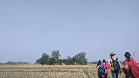
For data collection in the field and ground-truthing of the sub-set of data, a customised digital field survey form is being developed using open source Open Data Kit (ODK) software.
ODK allows offline data collection, using mobile phones or tablets, in resource-constrained environments. The collected data can be uploaded to a server when an internet connection is available. The forms are structured along several checks and constraints that will minimise the possibility of data collection errors. We are also exploring the Arches Collector app for future data collection.

Georeferencing Progress
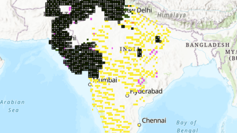
Click here to see what the MAHSA team has been getting up to in our live Georeferencing Progress map.

